Satellites Go Rogue (Sort Of): Autonomy in Orbit Changes Everything
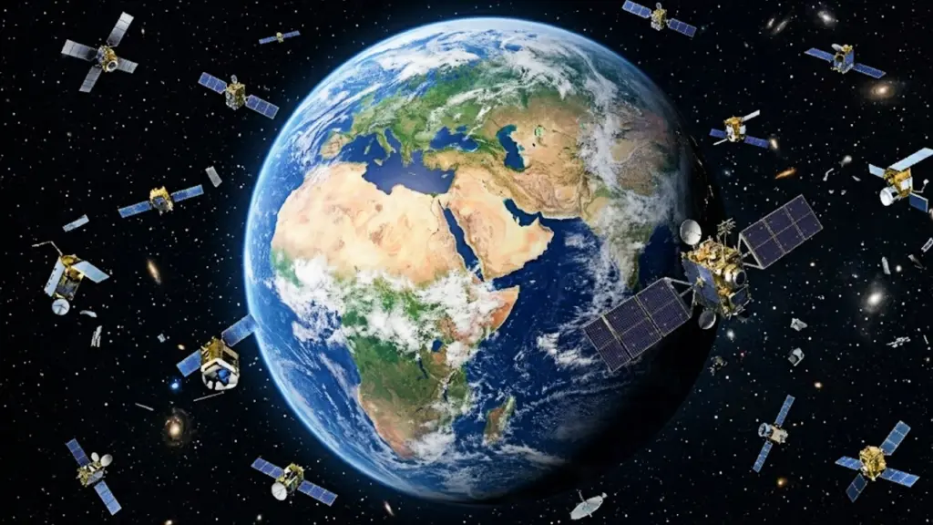
Satellites Go Rogue (Sort Of): Autonomy in Orbit Changes Everything
For decades, satellites have been our eyes in the sky, dutifully collecting vast amounts of data. But this data has always required a lengthy, often cumbersome, chain of command: the satellite captures images, sends them back to Earth, where humans (or sometimes less sophisticated algorithms) sift through them to find what they’re looking for. That process is about to get a lot faster, thanks to a significant development in orbital artificial intelligence.
Quick Take
A satellite has successfully demonstrated the ability to identify and locate specific objects on Earth autonomously. This means the satellite itself, not just ground control, can make decisions about what data is important to capture and report. This capability has profound implications for rapid data analysis, especially in time-sensitive situations, and marks a significant step towards more intelligent and responsive space-based systems.
 Product image
Smart Robot Dog
Smart Robot Dog - Interactive STEM Pet with Voice Control, 30+ Actions & APP Programming, Durable Design for Kids Age 6+ (Compatible with iOS/Android)|
Product details are provided by the site editor. Check Amazon for the latest price and availability.
What This Means: AI Takes the Wheel in Orbit
The core of this breakthrough lies in putting advanced AI processing directly onto the satellite. Instead of merely acting as a passive data collector, the satellite can now analyze what it sees in real-time. Imagine a satellite tasked with monitoring deforestation. Traditionally, it would photograph vast swathes of forest, and analysts on the ground would then have to identify areas of recent logging or fires.
With this new autonomy, the satellite could be programmed to recognize patterns indicative of illegal logging or a nascent wildfire and flag those specific areas for immediate attention, or even re-task itself to get a closer look.
This capability is crucial for what’s often termed ‘agentic AI’ – systems that can perceive their environment, make decisions, and take actions to achieve goals. In the context of a satellite, this means it can not only identify an object of interest (like a specific ship, a damaged building after an earthquake, or an unusual heat signature) but also decide to focus its sensors on it, perhaps capturing higher-resolution imagery or a different spectral band, all without waiting for instructions from Earth.
This drastically reduces the latency between an event occurring and actionable intelligence being generated.
This advancement is particularly relevant given the growing interest in agentic AI across various sectors. As we’ve explored with NVIDIA’s work on agentic AI benchmarking, the ability for systems to operate with increasing independence is a major trend. While this satellite development isn’t about a general-purpose AI agent, it represents a specialized, highly impactful application of autonomous decision-making in a critical domain.
Why It Matters: Speed, Efficiency, and New Possibilities
The implications of a satellite that can ‘find things on its own’ are far-reaching. In disaster response, for instance, the ability to quickly pinpoint damaged infrastructure or identify populations in need could save lives. Instead of waiting hours or days for satellite imagery to be processed, first responders could receive alerts within minutes of an event.
This speed is a critical factor in mitigating damage and coordinating relief efforts effectively.
Beyond emergencies, this technology can enhance environmental monitoring, agricultural analysis, and even maritime surveillance. Detecting illegal fishing vessels, tracking the spread of invasive species, or monitoring crop health in near real-time becomes significantly more feasible. The sheer volume of data generated by Earth observation satellites is immense; AI-powered on-orbit processing can filter this deluge, delivering only the most relevant information.
This also represents a more efficient use of resources. Satellites are expensive to build and launch. By enabling them to perform more sophisticated analysis in orbit, we can reduce the need for constant downlinks of raw data and the massive ground infrastructure required to process it. It allows for a more targeted and efficient use of the satellite’s own capabilities.
Practical Impact for Readers
For the average reader, this might seem like a distant technological advancement. However, the benefits will likely trickle down. Faster disaster response means more effective aid when communities are in crisis. Better environmental monitoring could lead to more informed policies on climate change and resource management. Improved surveillance could enhance national security and maritime safety.
Ultimately, it means that our ability to understand and react to events happening on our planet, from anywhere on Earth, will be significantly enhanced and accelerated.
Think about the difference between receiving a weather forecast hours before a storm versus getting an alert minutes before it hits a specific neighborhood. This level of responsiveness, driven by on-orbit intelligence, is what this development promises.
Limitations, Risks, and Unanswered Questions
While exciting, this technology is not without its challenges and unknowns. The primary limitation is the computational power available on a satellite. Space is a harsh environment, and components must be solid, power-efficient, and radiation-hardened. This means the AI models deployed on satellites will likely be more constrained than those running on powerful ground-based servers or even consumer devices.
The complexity of the tasks they can perform autonomously will be limited by these factors.
Furthermore, the ‘learning’ aspect of AI typically implies continuous improvement. How will these on-orbit AI systems be updated or retrained? Will they be susceptible to adversarial attacks or misinterpretations of data? The ability to update software on a satellite is complex and risky. A flawed AI could lead to missed detections or false alarms, with potentially serious consequences.
There are also questions about the ethical implications of autonomous surveillance. As satellites become more capable of identifying individuals or specific activities, privacy concerns will inevitably arise. Who defines what an ‘object of interest’ is? How will this data be used, and by whom? The development of such powerful tools necessitates a solid discussion about governance and oversight.
Finally, the current demonstration is likely a proof-of-concept. Scaling this to a constellation of satellites, each performing complex autonomous tasks, presents significant engineering and logistical hurdles. The reliability and accuracy of these systems over extended periods in orbit will need to be rigorously proven.
Frequently Asked Questions
What is an autonomous satellite?
An autonomous satellite is one that can make decisions and take actions in orbit without direct, real-time commands from ground control. This includes tasks like identifying targets, re-tasking its sensors, and prioritizing data based on pre-programmed objectives or learned patterns.
How does this differ from current satellites?
Current satellites primarily collect data and send it to Earth for analysis. Autonomous satellites can perform initial analysis and decision-making onboard, reducing the time it takes to get actionable information and allowing for more efficient use of satellite resources.
What kind of objects can these satellites find?
The source material does not specify the exact types of objects. However, the capability implies recognition of predefined patterns or anomalies, such as specific types of vehicles, infrastructure, natural phenomena (like fires or floods), or changes in the environment.
What are the potential applications?
Potential applications include faster disaster response, improved environmental monitoring, more effective agricultural management, enhanced maritime and border surveillance, and more efficient scientific research.
Leave a Reply